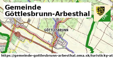
Cesta: OMA » Rakúsko » Gemeinde Göttlesbrunn-Arbesthal » Turistické trasy; Vaša cesta: gemeinde-gottlesbrunn-arbesthal.oma.sk » turistika »
Cesta: OMA » Rakúsko » Gemeinde Göttlesbrunn-Arbesthal » Turistické trasy; Vaša cesta: gemeinde-gottlesbrunn-arbesthal.oma.sk » turistika »
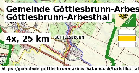
Spolu je v Gemeinde Göttlesbrunn-Arbesthal 4 trás, ktoré majú 25 km. Tieto sú tvorené dobrovoľníkmi ako ste vy. Môžete doplniť ďalšie.
Všetky Turistické trasy Slovenska.
Iné typy: iná,
Turistické trasy sa dajú nájsť aj cez regióny (napríklad pohorie alebo kraj).
Spolu je v Gemeinde Göttlesbrunn-Arbesthal 4 trasy farby iná, ktoré majú 25 km.

Spojte sa s nami na facebooku, zdieľajte túto stránku na Facebooku, na Twittri, alebo umiestnite odkaz na svoju stránku.
Ale hlavne doplňte dáta do Openstreetmap, články do wikipédie, ...